Click and explore using the interactive map below and travel back through time.
- Historical maps indicate extensive lo`i kalo (taro growing) and fishponds (aquaculture) in 1873
- Western contact and extensive sugar cultivation created drastic changes in food production by 1927
- Sugar cultivation persisted, small homesteads developed at Kapapapuhi point and some fishponds were still managed by 1954
- Non-native mangrove was introduced to Hawai`i and planted extensively on many shorelines including Pu`uloa. Growth of mangrove is apparent by 1968
- Expansion of invasive mangrove obscures fishponds, sugar cultivation and homesteads persist by 1977
- Extensive housing development, the West Loch Golf Course and shoreline park created and Kapapapuhi Point residents were displaced by 1993
- Proliferation of invasive mangrove along the shoreline and off-shore islands apparent and progressive 1994-2016
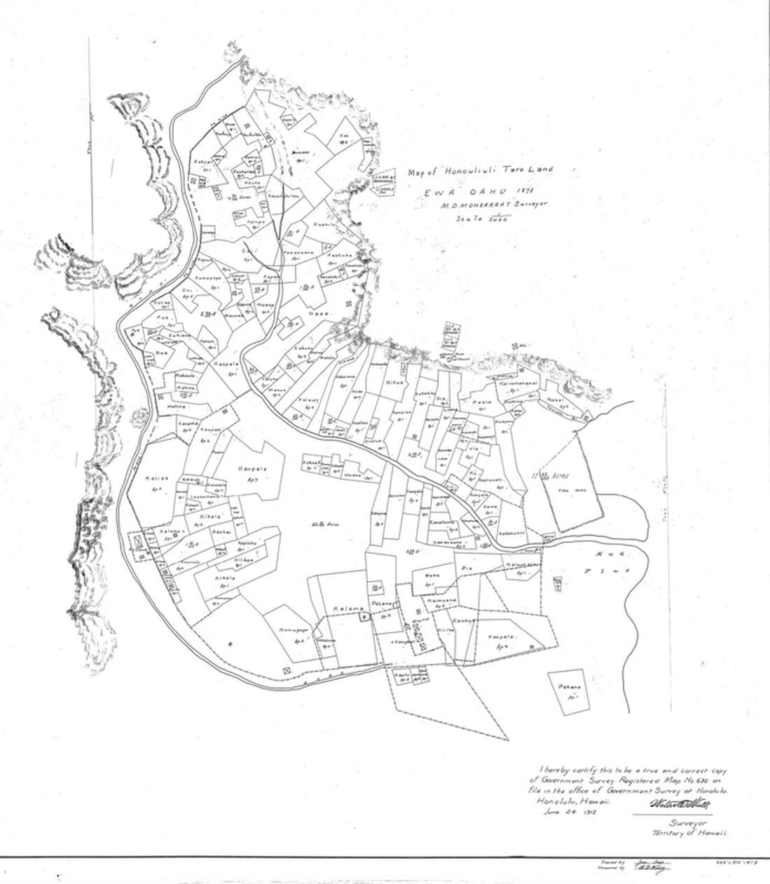
Evidence of historical abundance abounds - including the extensive taro production for which `Ewa was known - see map below.
Mahalo to Bert Weeks and Kyle Hart for their research - uncovering and sharing the maps shown on this page!
Explore a Storymap to Learn More About the History of The Honouliuli Ahupua`a
Mahalo to Michael Wahl for posting this excellent resource!